White Rim Trail Adventures!
Adventure: The White Rim Trail
Date: March 30 - 31, 2024
Trail Beta: 97 mi (156km), 90% unpaved, 0% singletrack, 100% rideable (depending on how hard the wind is blowing and how heavy your bike is)
Total Vert: 5,459’, High Point: 6,170’
Bikepacking.com rating difficulty (1-10): 5
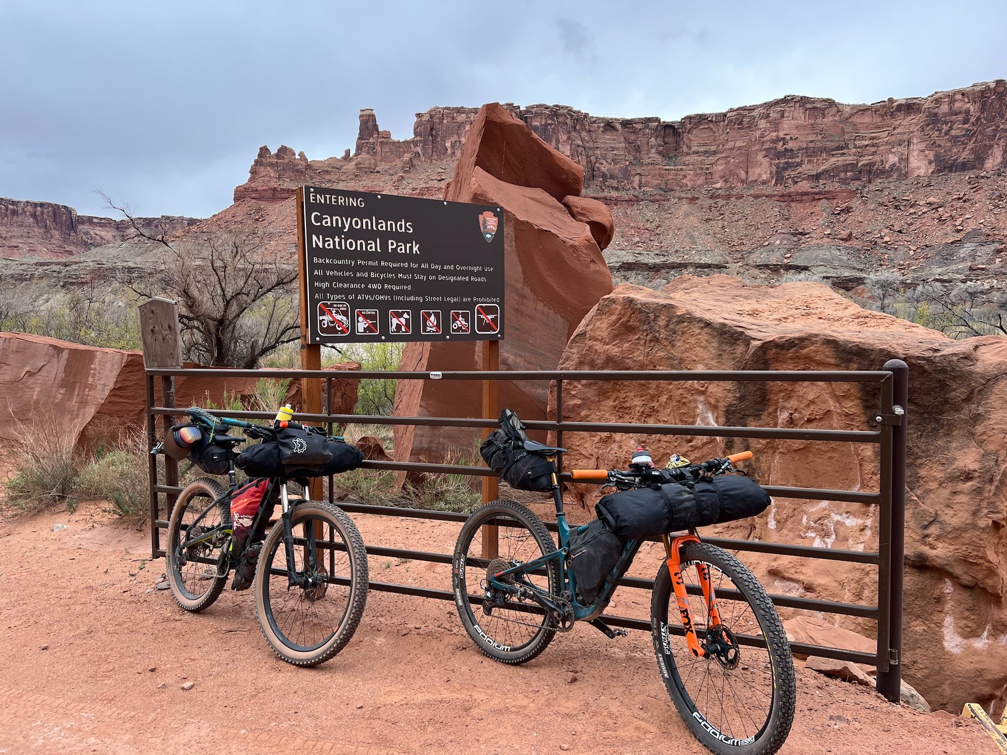
Bike: Salsa Woodsmoke, 2.6” tires
Island in the Sky Visitor’s Center
We started our loop here. We had a parking permit for overnight that is issued with the White Rim backcountry permit.
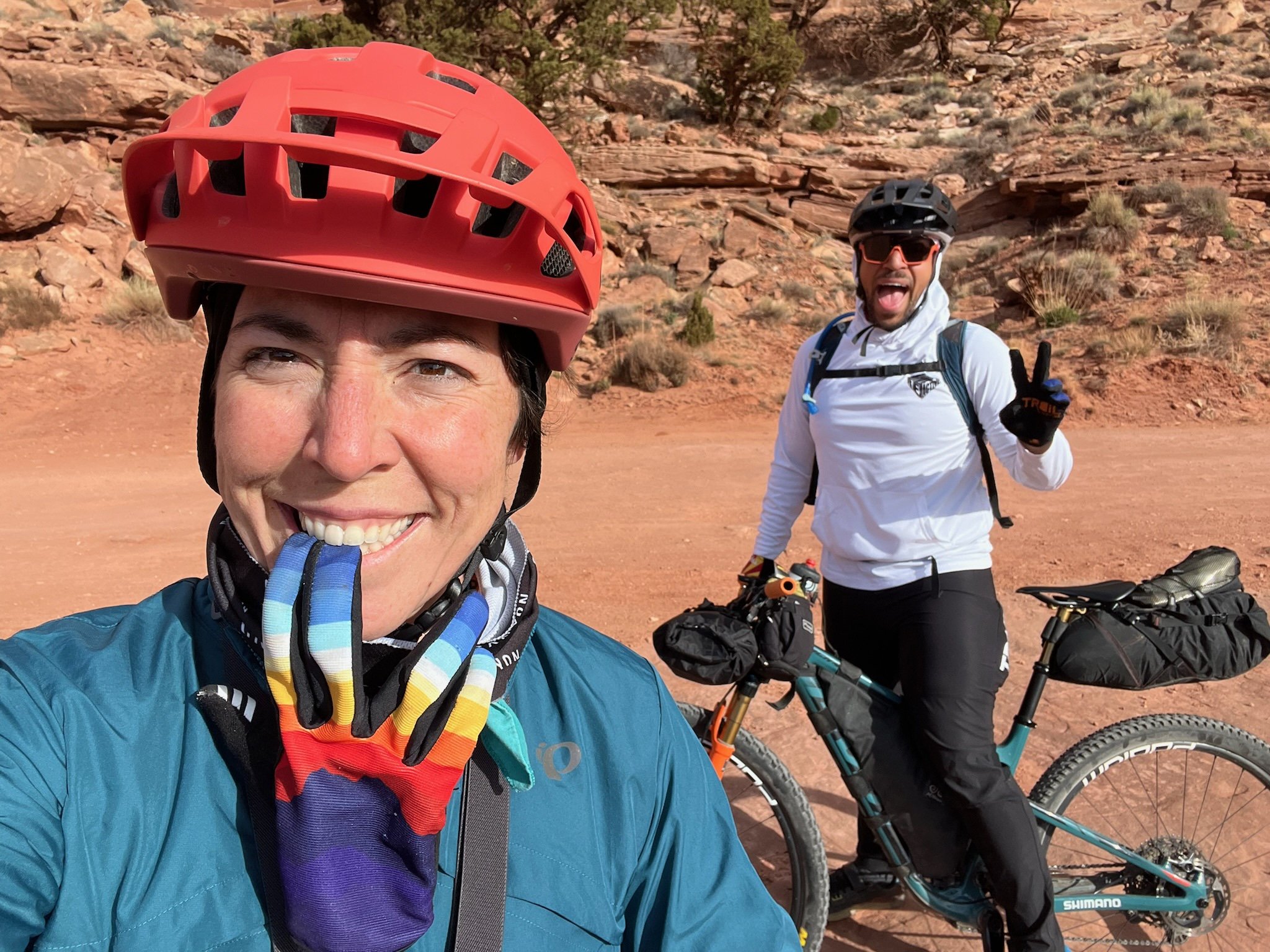
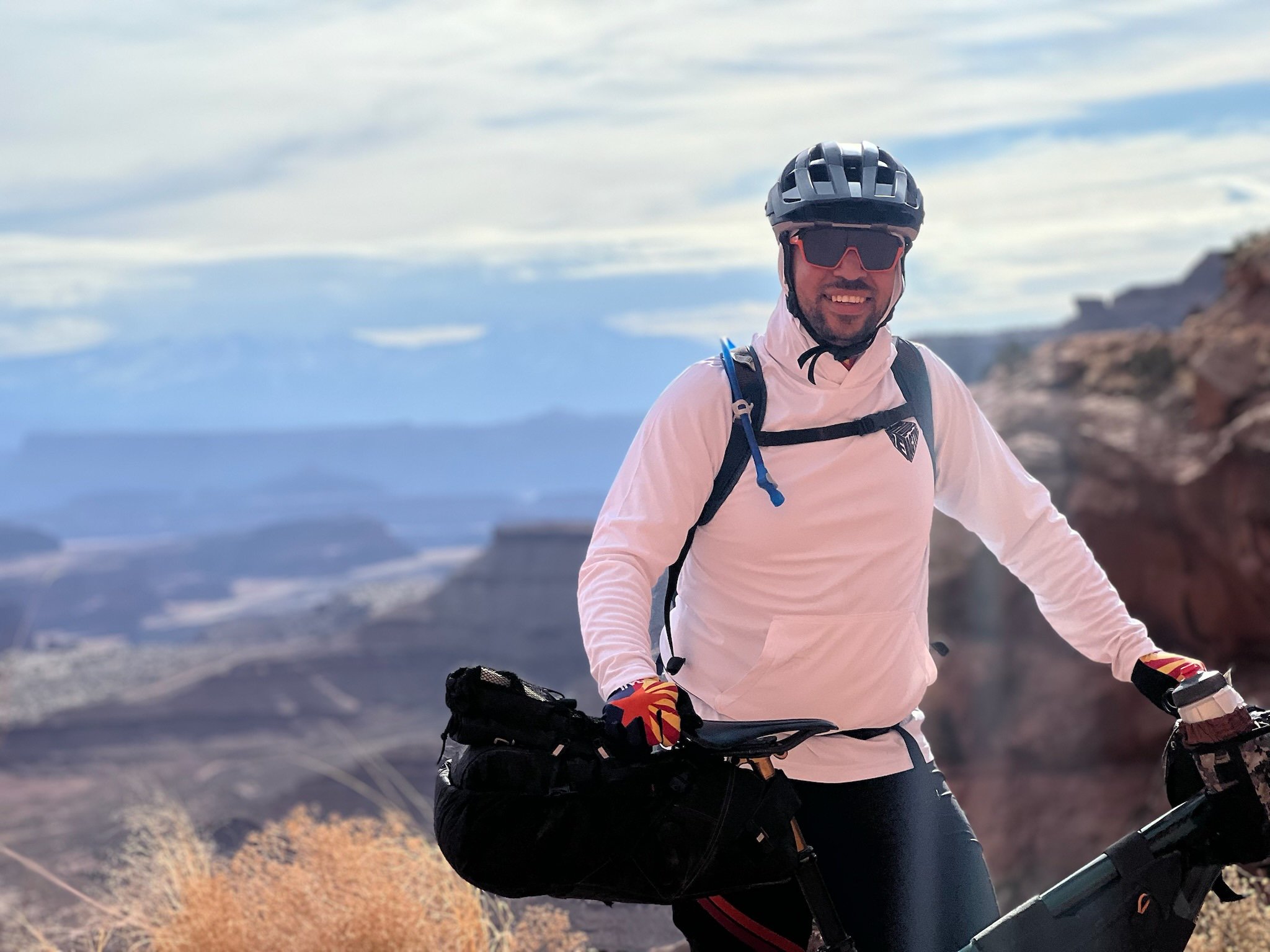
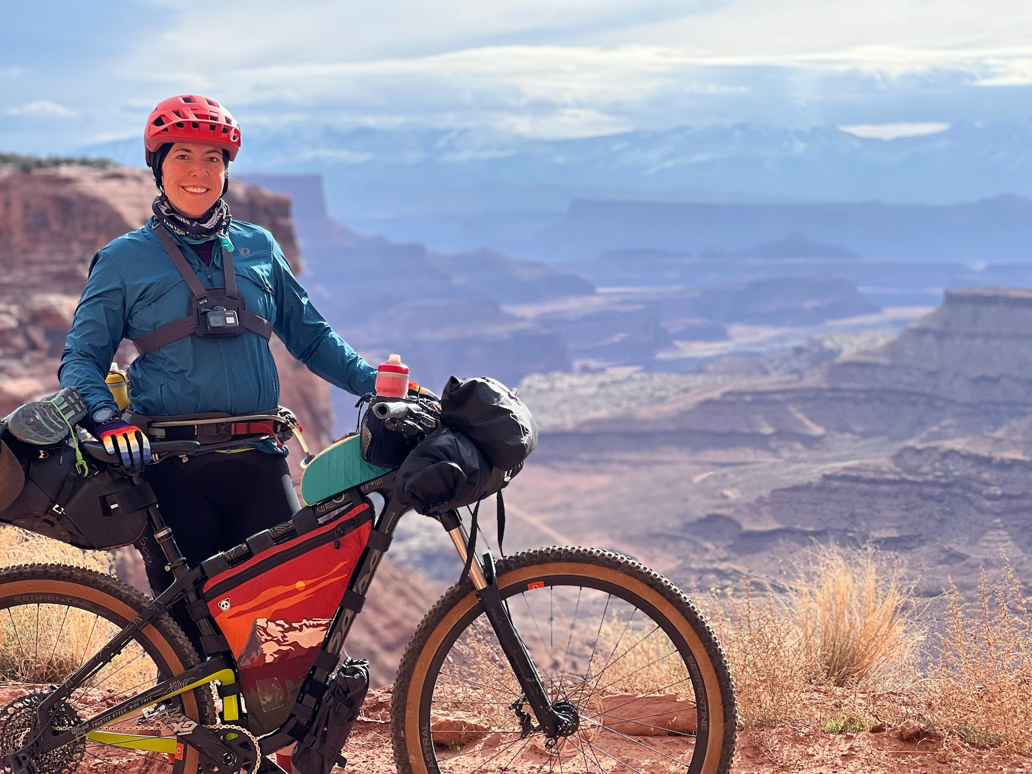
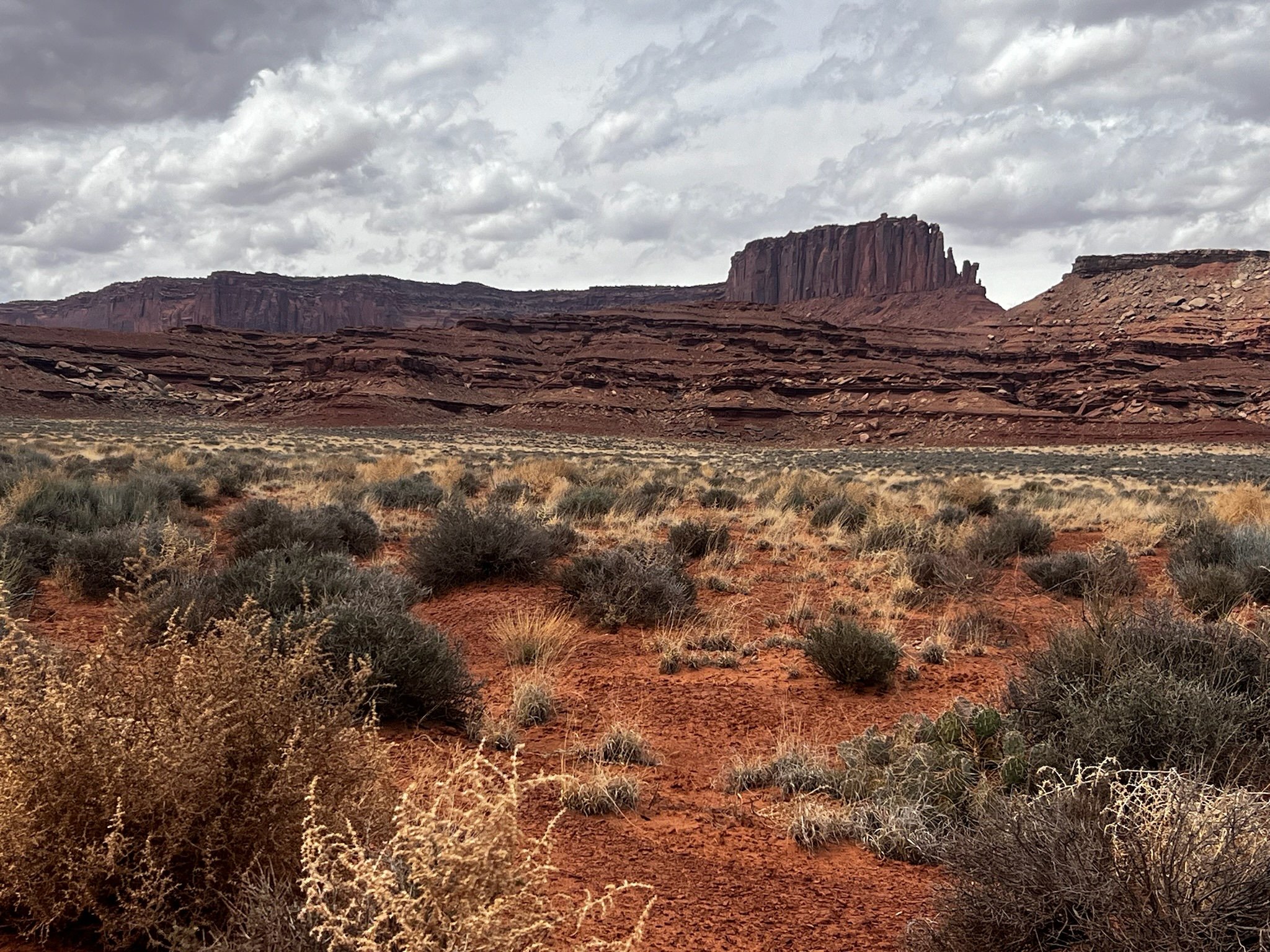
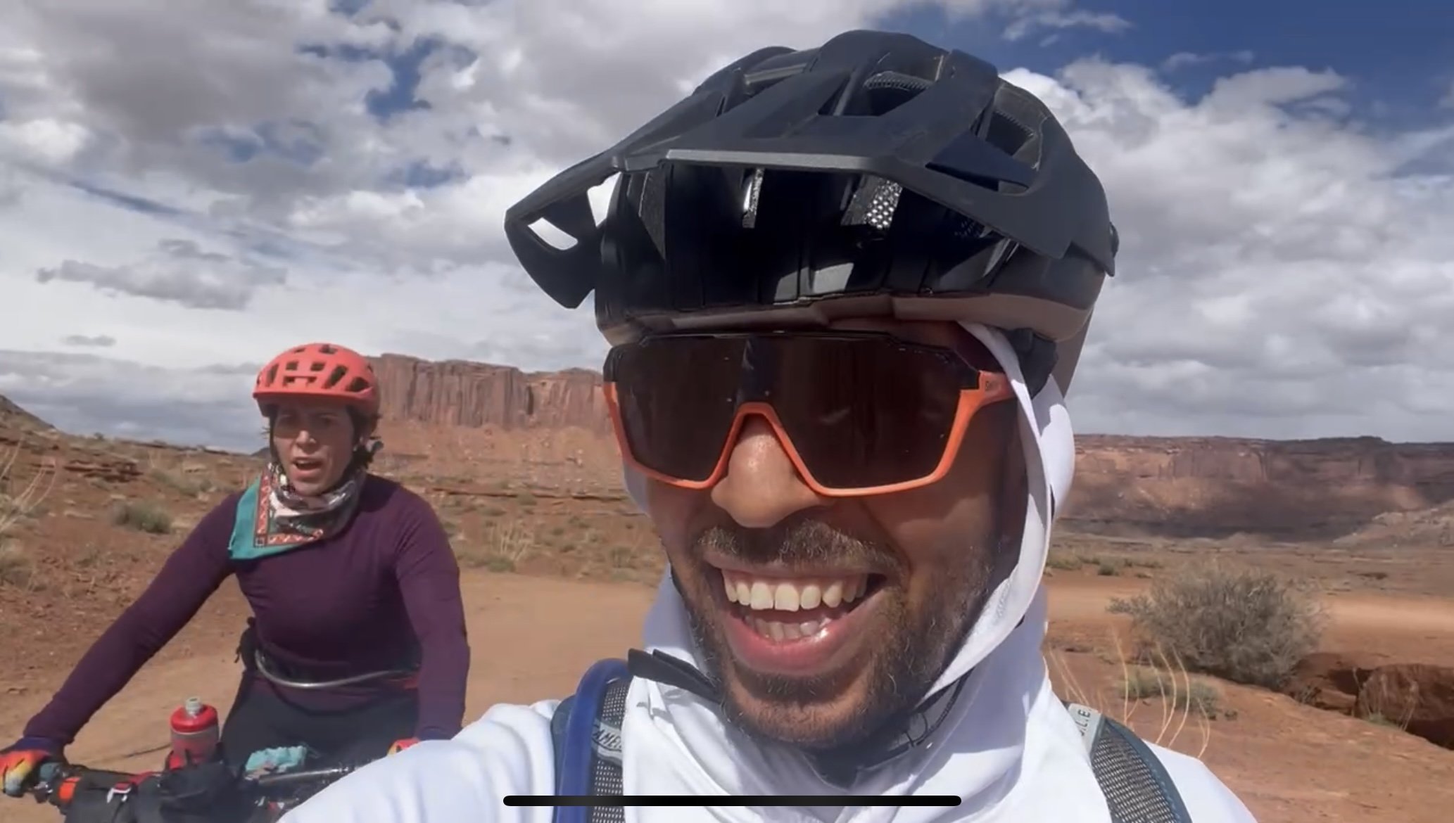
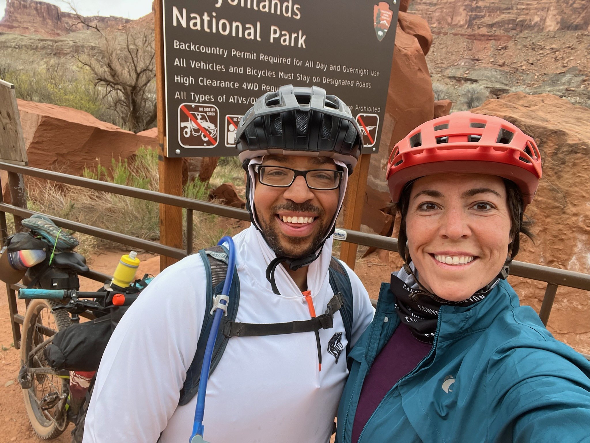
We finally got to cross the White Rim Trail off the bucket list! And we did it in high-fashion! This 100 mile loop that circumnavigates the Island in the Sky wilderness near Moab, Utah is known for its epic views of the surrounding red rocky landscapes and the Colorado River. Permits are required and as such, I can’t think of a more pristine area to spend some solitudinal Type 2 Fun. My partner, Patrick, and I knew that we were in for an adventure when we looked for the -nth time weather forecast. Saturday was supposed to be 25-30 mph SSE winds with gusts in the afternoon/evening of up to 45 mph. Sunday was projected to be cool but “breezy” so we figured we’d pack our strongest tent stakes (providing they would actually be able to anchor into the souther UT rocky terrain), all of our layers and hope for the best.
We had previously booked permits in 2023 around the same time of year because they were the most easily accessible. I guess that’s because folks don’t want to gamble with the unpredictable weather. Our friend Aliza had even flown down from the PNW to join us in our White Rim shenanigans and to no avail, the weekend of our ride ended up being horrible weather with lows below freezing, sleet, hail and significant winds. So, we opted to do a last minute Kofa Wilderness trip instead, which ended up being 80 degrees! (Talk about a drastic difference!). Anyway, Patty and I had decided that this year we would go no matter what. That’s what all of our gear is for, right?
Taking multi-day adventures for me at this time in my life is a bit different than in my previous years of adventuring. In August of 2023, I transitioned from teaching piano lessons and gigging as a pianist full time, to a “9-5” administrative job. Though I know it is the best thing for me to do at this point in my life, for many reasons, it’s been a tough pill to swallow. While there are definitely benefits (literally) to having paid vacation, personal sick days, paid holidays, among other perks of a full time job, it also means that I can’t take off whenever I want. It means I am limited in my paid time off, and it also means that I don’t have time during my regular week day to prep for said adventures. I’m still getting used to this, and prepping for this trip was definitely a learning process.
In a nutshell, work life, leading up to this adventure was CHAOS. I’m taking on more responsibilities, have some health stuff going on, and was trying to adjust to working with a running coach all at the same time. A couple days before the trip, shit hit the fan and I sort of lost it. Lesson learned, delegating is my best friend, and prioritizing and lists are my most valuable tools in the book. Patty helped at home, cooking, cleaning, and trying to get stuff prepped as much as possible, which I am ultimately grateful for.
I packed as much as possible during the week nights leading up to the trip. We had planned to leave early on Friday morning so we could get to Moab area, camp and be ready to head out first thing on Saturday. When I arrived at home Thursday evening and attempted to finish packing, my head/brain said “no”. I was so exhausted that I couldn't finish a sentence. At one point I spent probably 15 minutes trying to figure out what to do next, standing in front of the pile of food, clothes, and gear that had amassed in my living room. I decided to go to bed and pack first thing in the morning, which proved to be a wise decision.
Patty and I managed to get out the door on Friday morning around 8:30 am and away we went. The drive was smooth, filled with tunes and the Dexter Series Audiobooks that I subjected Patty to while I was driving. Moab came before I knew it and we set up camp in the late afternoon at Horsethief Campground, which is a first-come-first-serve campground and was not crowded at all. We grabbed tasty dinner from TrailHead pub in Moab, which I would highly recommend for fairly priced, fresh ingredients with large portions. I have found that a lot of the food spots in Moab are overpriced and not super tasty, so it was good to find a spot that (literally) fit the bill.
Patty’s sleeping pad had a hole in it. This was one of the first of a comedy of errors that we discovered when we went to set up camp. First, we have a home-built platform that we used when we car camp that fits snugly in the back of Patty’s car. I went to open the back of the car to set out our sleeping pads and such and the platform wasn’t in there! Then, we figured, well, we have our air mattress that fits into the back of the car perfectly, so maybe we won’t even notice the bumpy surface underneath. No air mattress. We had the accessories in a little bag, but no mattress. So, we unpacked our super light camping pads and to Patty’s dismay, his immediately went flat. UGH! Luckily, we had some blankets and such to pad his tender body, so he still got some sleep. But that meant that we had no way to patch the pad for the next night when we’d be on the ground. Usually, I come prepared with extra patches of sorts for times like these, especially in the SW desert which is full of pokies and rocks, but alas, this was one of the things that had slipped past me in the pile on the floor.
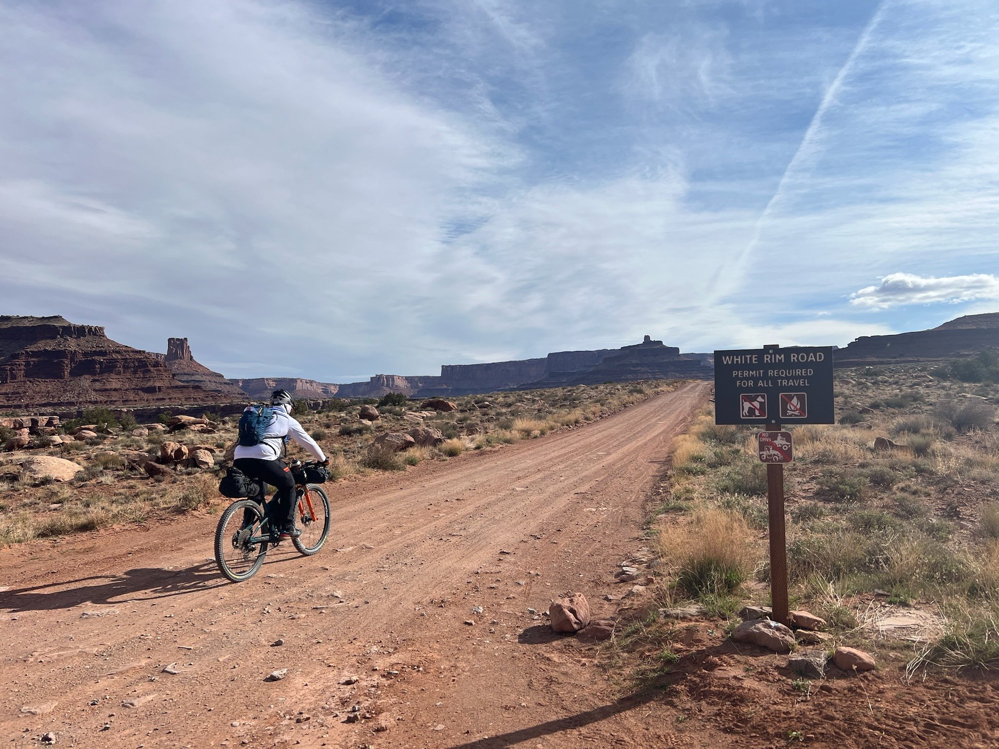
And we’re off into the wind!
We woke with first light and munched on our cold breakfast, which we had planned for the day before and had ordered extra breakfast sammies so that we could save time and energy getting started. Very smart choice, especially because the sammies were portable and I could easily finish mine, even after we got started on our bikes. We headed the short drive down the road to the Island in the Skies visitors center and finished the final packing of our bikes in the cold breeze. An otherwise uneventful morning threw us one more loop when we went to load the course to our Garmin and realized that it hadn’t previously synced. We spent the next 30 minutes wandering around the visitors center looking for spots of service (the center didn’t have any public wi-fi) to successfully sync the device in whichever way we could get to work. We eventually had success, though I don’t really know how we got it to work. Later during the trip we realized that the trail is VERY well marked and we really wouldn’t need the Garmin for navigation, but it’s always good to have it, so I’m glad we tried. We also had the route loaded on Ride with GPS, Trailforks and my Garmin watch, so we were overly prepared, which isn’t necessarily a bad thing.
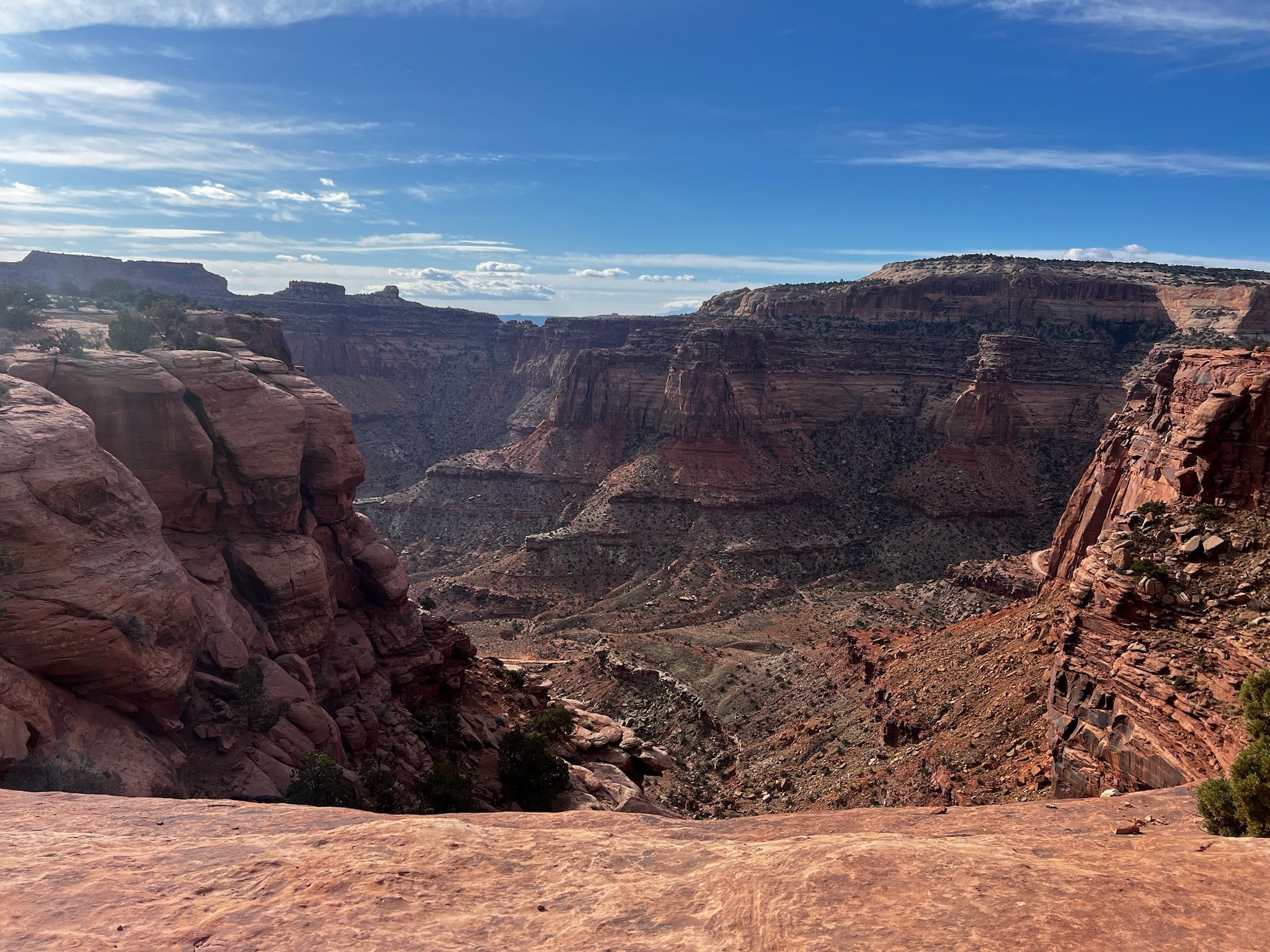
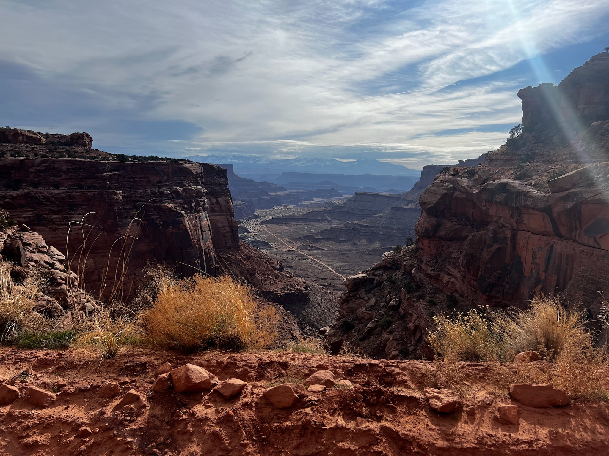
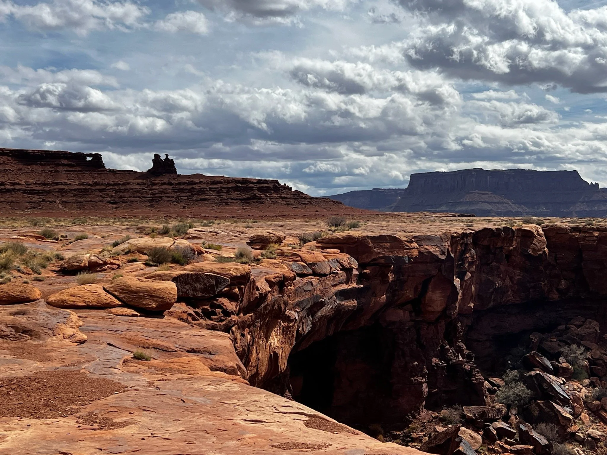
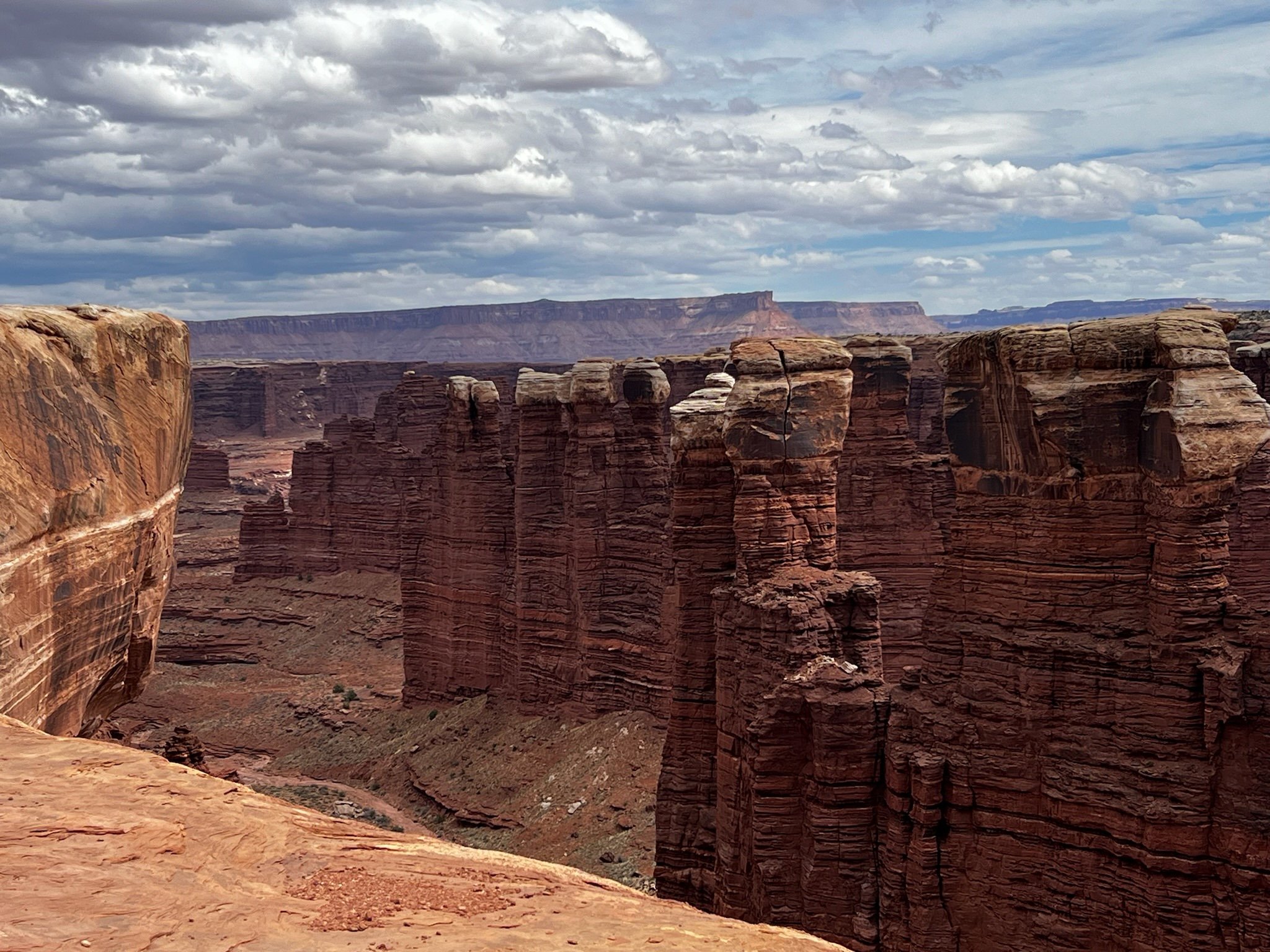
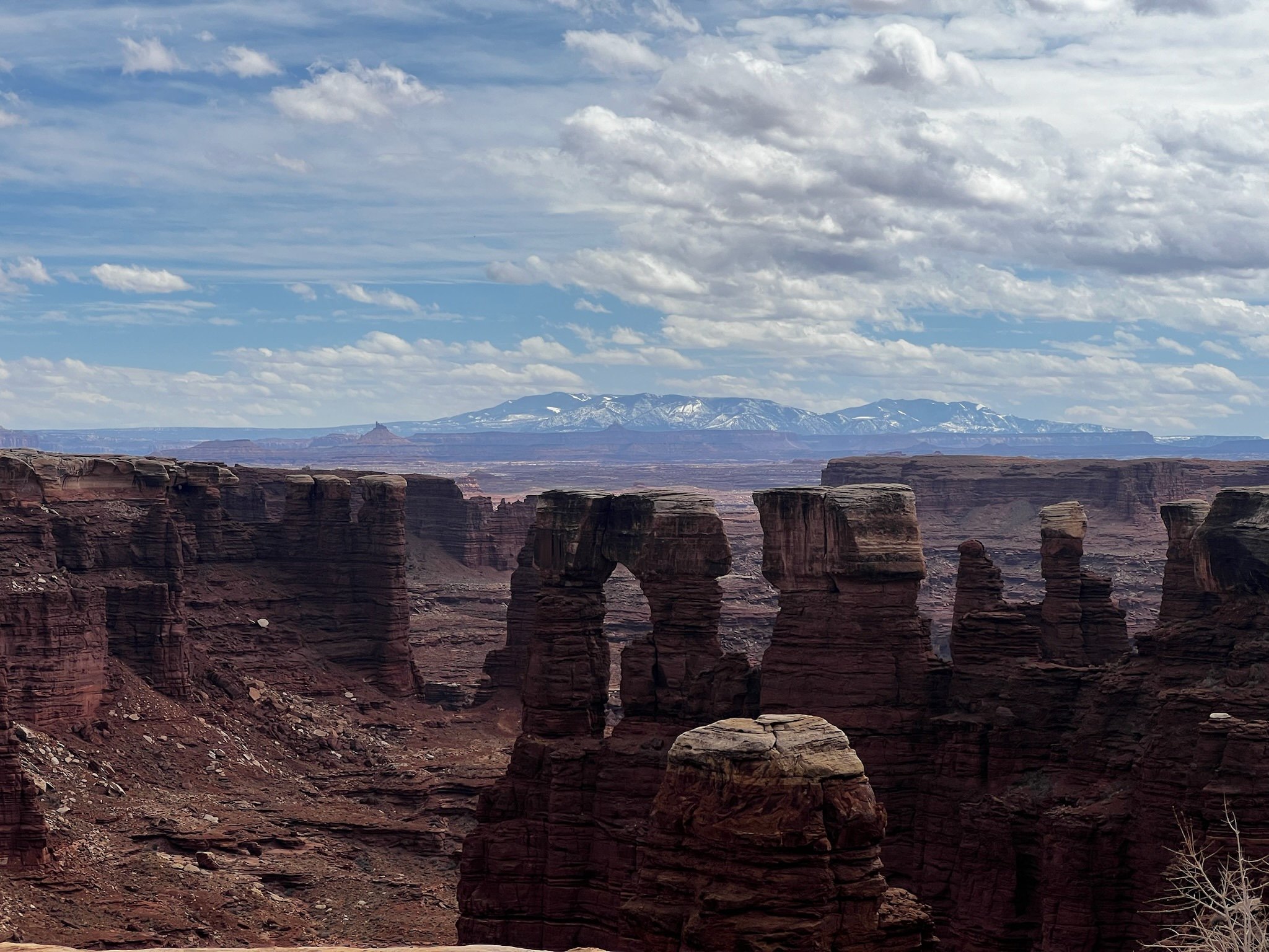
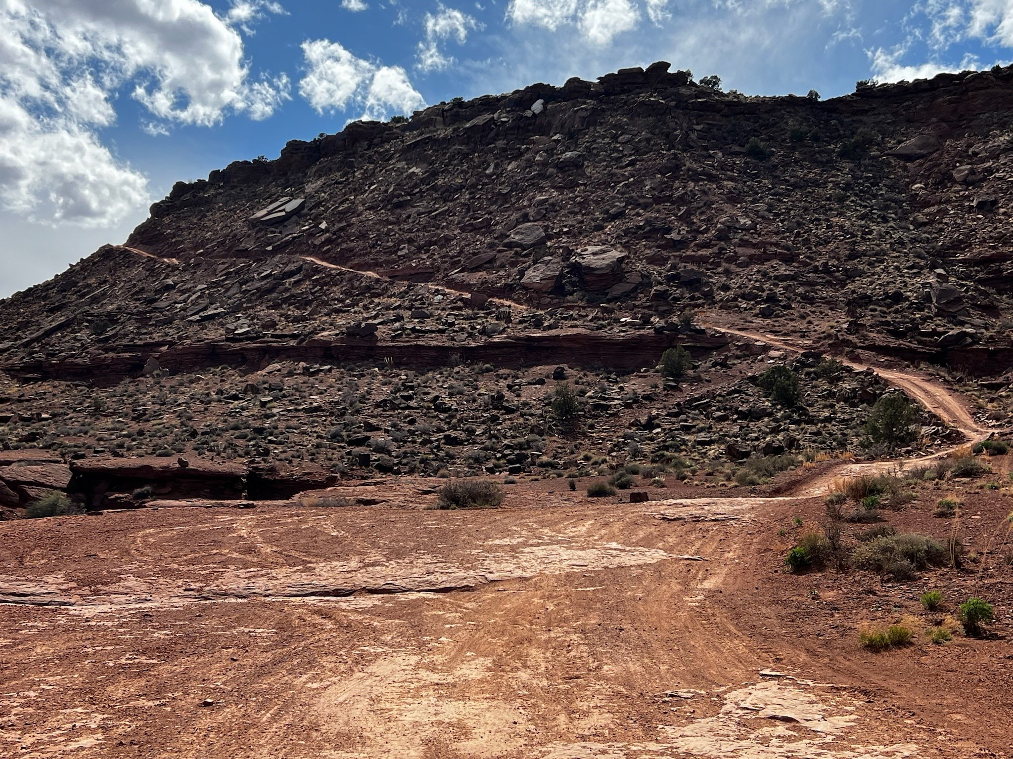
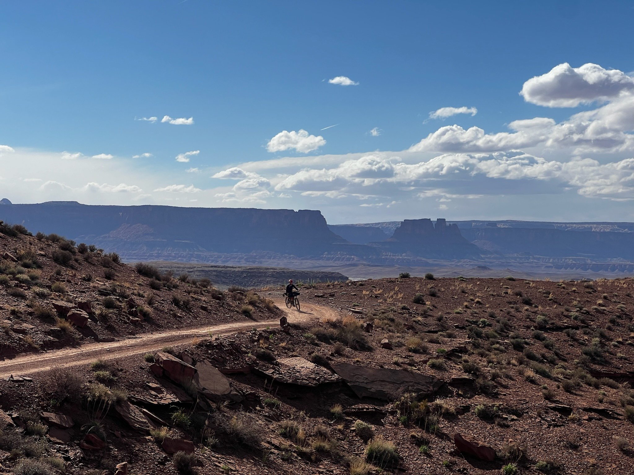
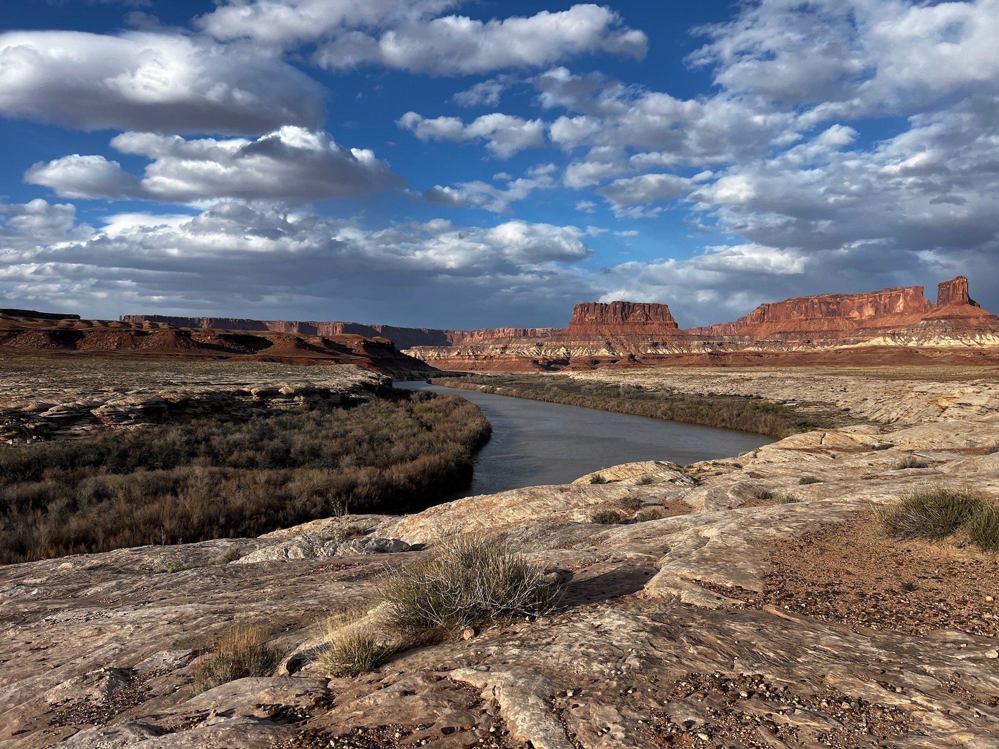
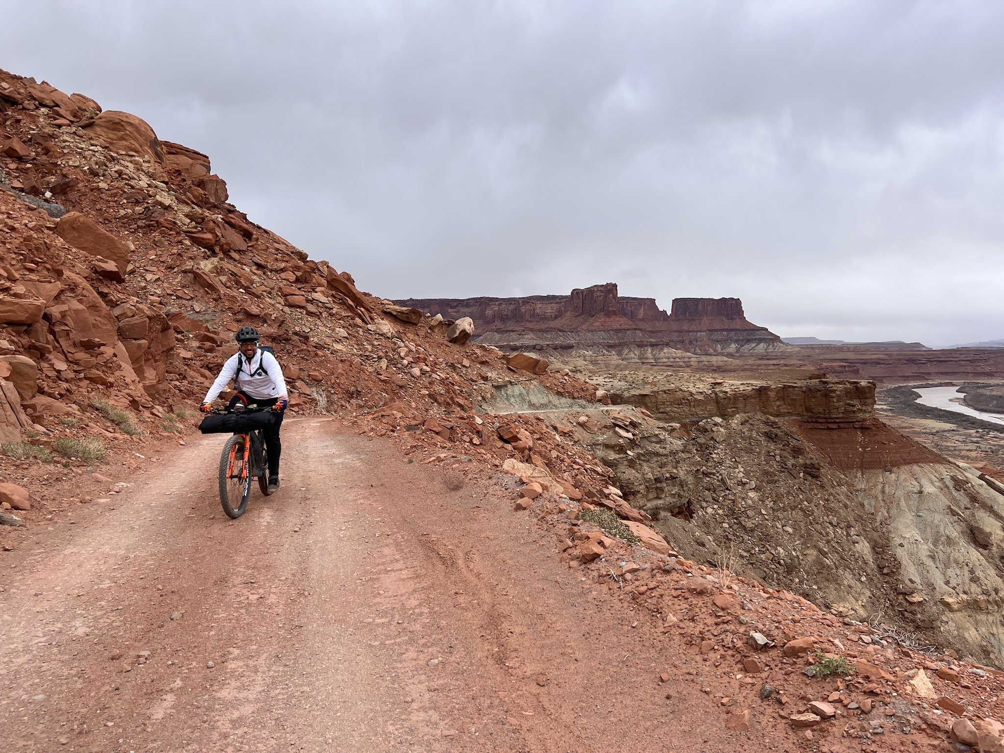
The route, starting from the Center, takes you down a few miles and turns right, heading clockwise down Shafer Rd. to get to the official White Rim Trail. The initial part is paved and soon turns into a fairly well-maintained gravel road as you traverse across the top of the rim. It was a little chilly with a light breeze, but the sun had peeked out and started to warm us as we immediately headed downhill on the Shafer Trail Road switchbacks. We were treated with the most epic view, overlooking the Colorado River and the valley below. It makes you want to take pictures every two minutes, which we did. There’s nothing like a vast canyon view that makes you feel as small as an ant.
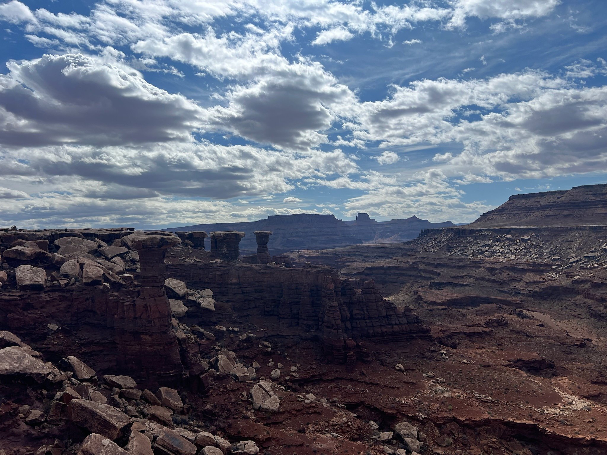
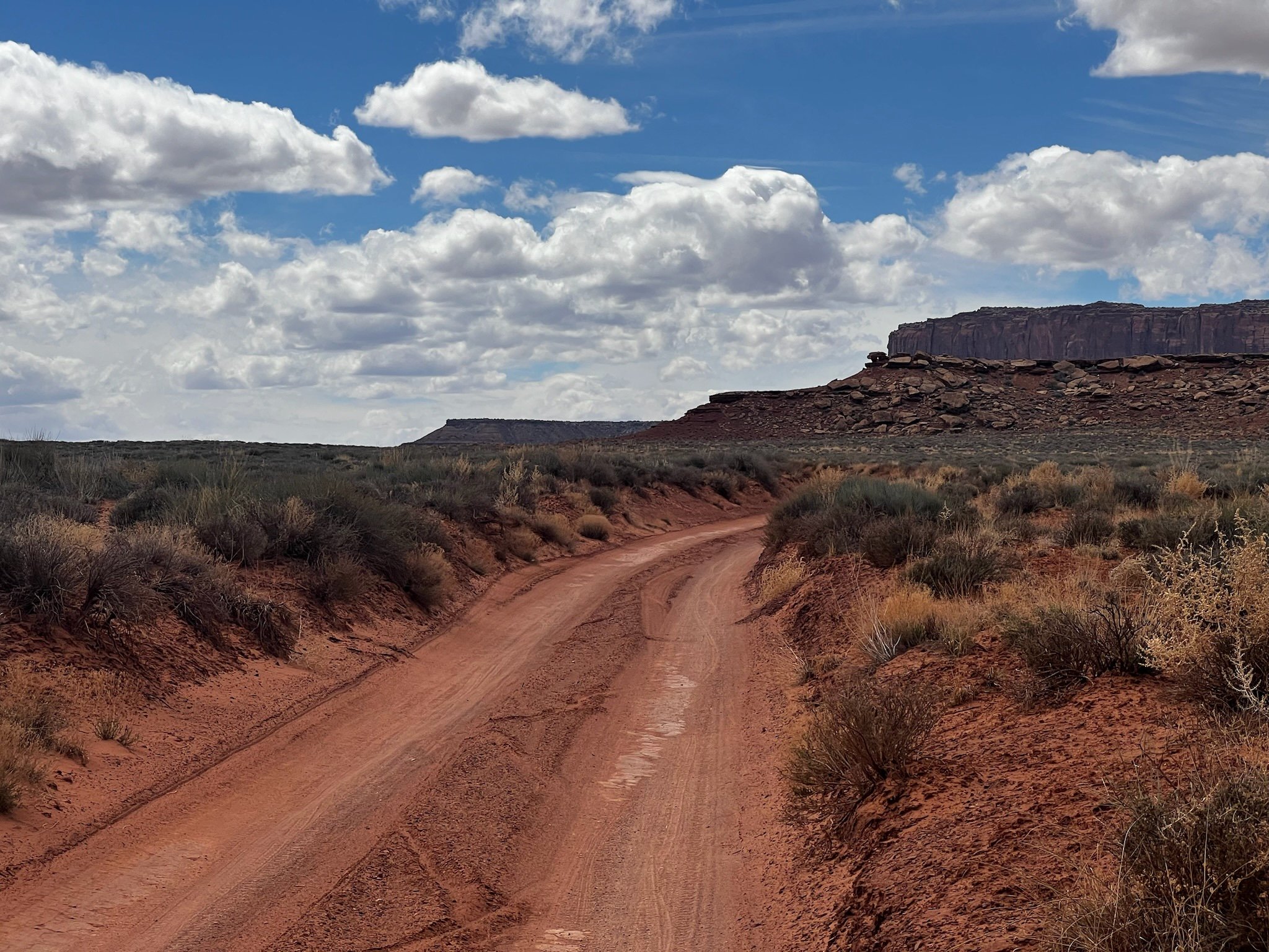
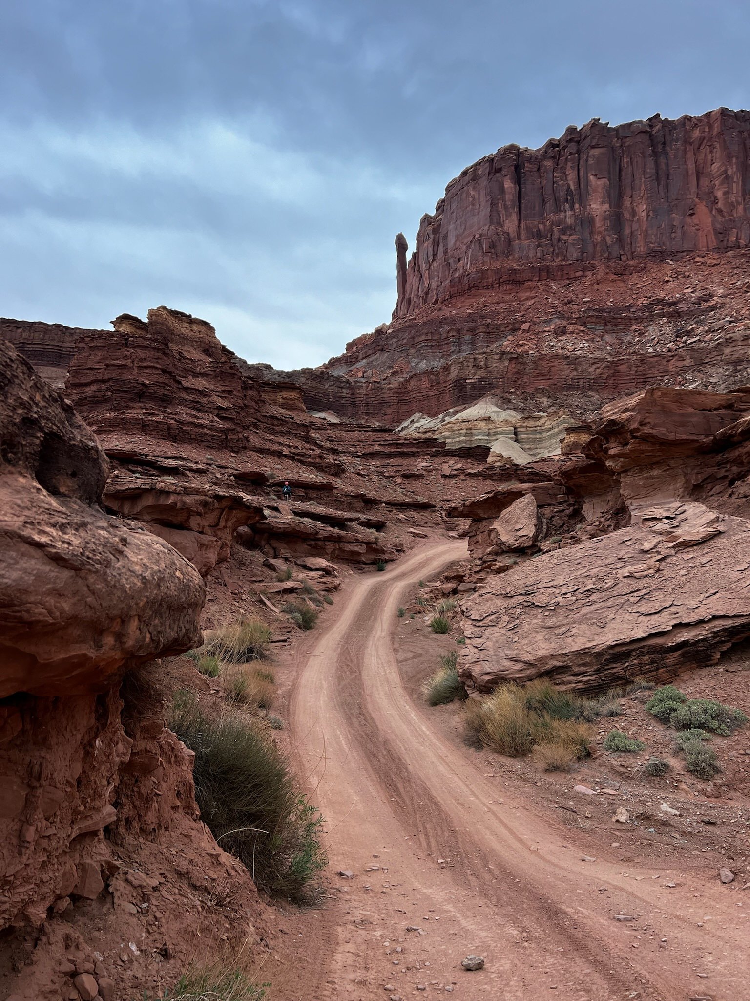
The long and winding dirt road snakes from the top of the canyon down past Shafer Canyon Campsite and gets lost in the red rock below. One of my favorite landscape features is when you can see forever into the distance and the plateaus or mountains change in shape and hue as they disappear into the sky. This scenic opportunity did not disappoint.
We stopped for obligatory selfies and to just capture the beauty of what lay ahead and dropped down the 1700 or so feet to what seems like the bottom of the canyon. The descent is well maintained and even with the switchbacks, it didn’t ever get too crazy - but I like a solid descent, so you can judge for yourself. The road was in excellent condition when we went with just a bit of loose gravel in the corners of the main switchbacks.
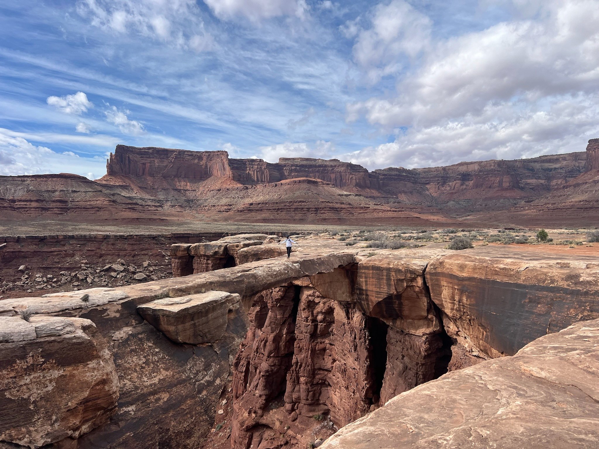
We stopped at Gooseneck overlook and then again at Musselman Arch. There was most definitely a small sign in the parking area that states, “Do Not Climb on Archways.” We may or may not have seen the sign since we didn’t “park” and just rode to the area and then hopped off of our bikes to hike over to see the arch. One of us may or may not have ended up on the arch for a photo opp but then later realized that was a no-no. So, note to all of you, make sure to read the signs and don’t climb on the arches! It’s a pretty cool arch and you can see across the canyon to the other side.
The rest of the trek from Musselman to Gooseberry Canyon went by in a blur. I was not in the best frame of mind, feeling very tired mentally from the prior week. This, along with heading directly into ever-increasing headwinds made me feel like we were standing still. I didn’t dare look at my watch to see how far we’d gone. It is usually better for me not to know until we are more than halfway through the day’s mileage, so that then I can start the countdown, especially on days where I don’t feel like I have it mentally or physically to keep pushing on. A few times, even though I wasn’t exhausted, I just had to stop for a break, putting my bike down and just standing there in the breeze, eating snacks and daydreaming about camp and my mashed potatoes I had packed for dinner. Patty was patient with me, even though I knew he was anxious to get out of the wind as well.
At some point I pulled the plug and knew I just needed to rest for a while, so we sat for lunch in the warm breeze and got pelted with sand as we sat on the cliff overlooking the valley below. You really can’t complain about sand in the eyes with views like that, right? Oh, how ironic…. haha!
WATER SITUATION:
One of the stresses of riding in the desert is water. I have horrible water anxiety. FAter experiencing heat exhaustion years ago on the Oregon Timber Trail, I am constantly worried if I have enough water. I drink quite a bit while I’m on the bike, and while I knew that this trip would take quite a bit of water for me, I had “only” packed 7 Liters. I had seen recommendations about carrying about 4L a day for a cool day, so I don’t know what I was thinking (I wasn’t - cause my brain was tired). As the day went on, I felt like I was rationing the entire time, and that really stresses me out. Patrick assured me that he had plenty (he tends to drink a lot less than me), and that he had no shame in asking for water from folks who were driving the route if it came down to it. I had to remember that I SHOULD be drinking more than half of my water that first day, because we were going 65 miles the first day and “only” 30 the next, and it was supposed to be a lot cooler the next day.
If you are doing this ride unsupported, definitely bring AT LEAST 4L per day and that would be on a cool day. Do not plan on relying on there being any puddles to filter out of. The area had just experienced some significant rain a couple of days before we got there and there was not a drop in sight as far as we could see. So, in a nutshell, it is the desert and even in cool season can be fairly warm when the sun comes out. The wind also helps to dehydrate you, so just make sure to carry more than you think you need!
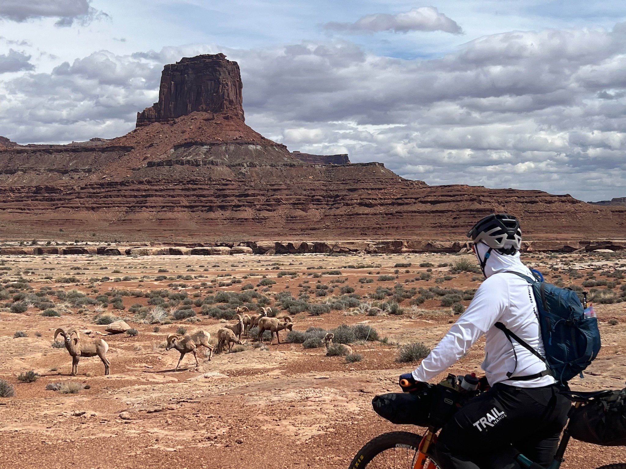
So, I tried to put this out of my mind, and drink as I wished and it made me feel a bit better. I think somewhere between Gooseberry Canyon and Murphy’s Hogback, we crested a small hill and Patty almost ran into a scrawny looking animal that we discovered was a mountian sheep. Another rider who was riding the loop in a single day, unsupported, was out there right behind us and we all stopped to admire the small sheep as she grazed. I was excited for Patty because he’s been wanting to see some mountain sheep for some time now, and it was finally his dream come true! Little did we know, that right around the corner would be a whole herd of them, fully grown, grazing on the poky shrubbery that the desert had to offer. We took a brief repreive to appreciate these beautiful animals in their habitat, trying to be as quiet as mice, but knowing all the well that they didn’t give two craps about us being there, though one of us gave us “the eye” a couple of times.
The road from thereon out was very much a slog. The wind was sort of starting to turn, aka we just started heading in a different direction but going along the bottom side of the loop heading west meant that we had an extremely strong cross wind that occasionally would whip up, steal your breath and lob you sideways. Luckily, this section, which is notorious for being sandy, wasn’t too deep and we had no issues riding through it, though sometimes at a total standstill because of the wind gusts. And then came the big hill that we had to get over in order to continue our descent down to the Green River for our campsite at Potato Bottom C. Oofdah! That was a hill!
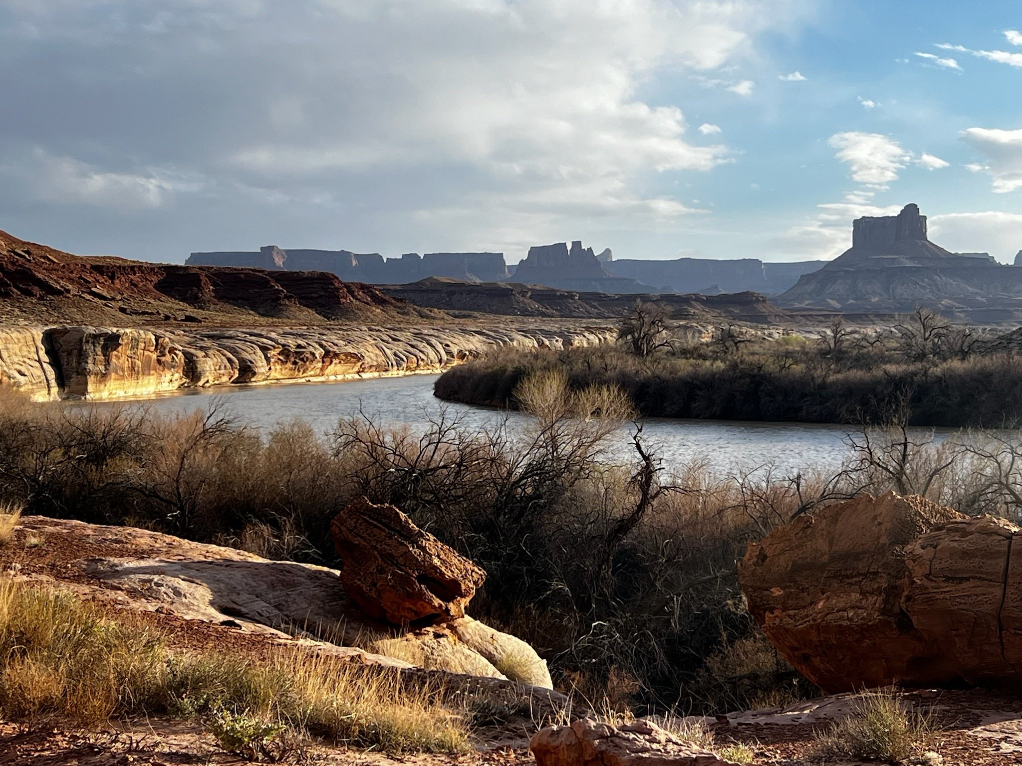
We had booked the Potato Bottom C campsite and it was late afternoon with the wind picking up even more. This said, once we turned to head north on the loop, Heading toward Murphy camp, the wind was in our favor and we started sailing except for the occasional cross wind. My mood lifted and felt like we were making good time. We meandered on some “FUNdulating” trail with a bit a moon-landing feel. Both of us thought we’d never make it down to the river, to the campsite. But sure enough, we rounded the bend in the setting sun and the aptly named Green River was right there! My favorite time of adventure rides is that time of day when it starts to cool off a bit, the light changes to signal the start of magic hour and all of the colors of the trail start to illuminate in that special way. The shadows shadow, the colors pop and there’s a bit of sparkle in the air. This is a most excellent time, especially when it is combined with the knowledge that your campsite is just around the corner.
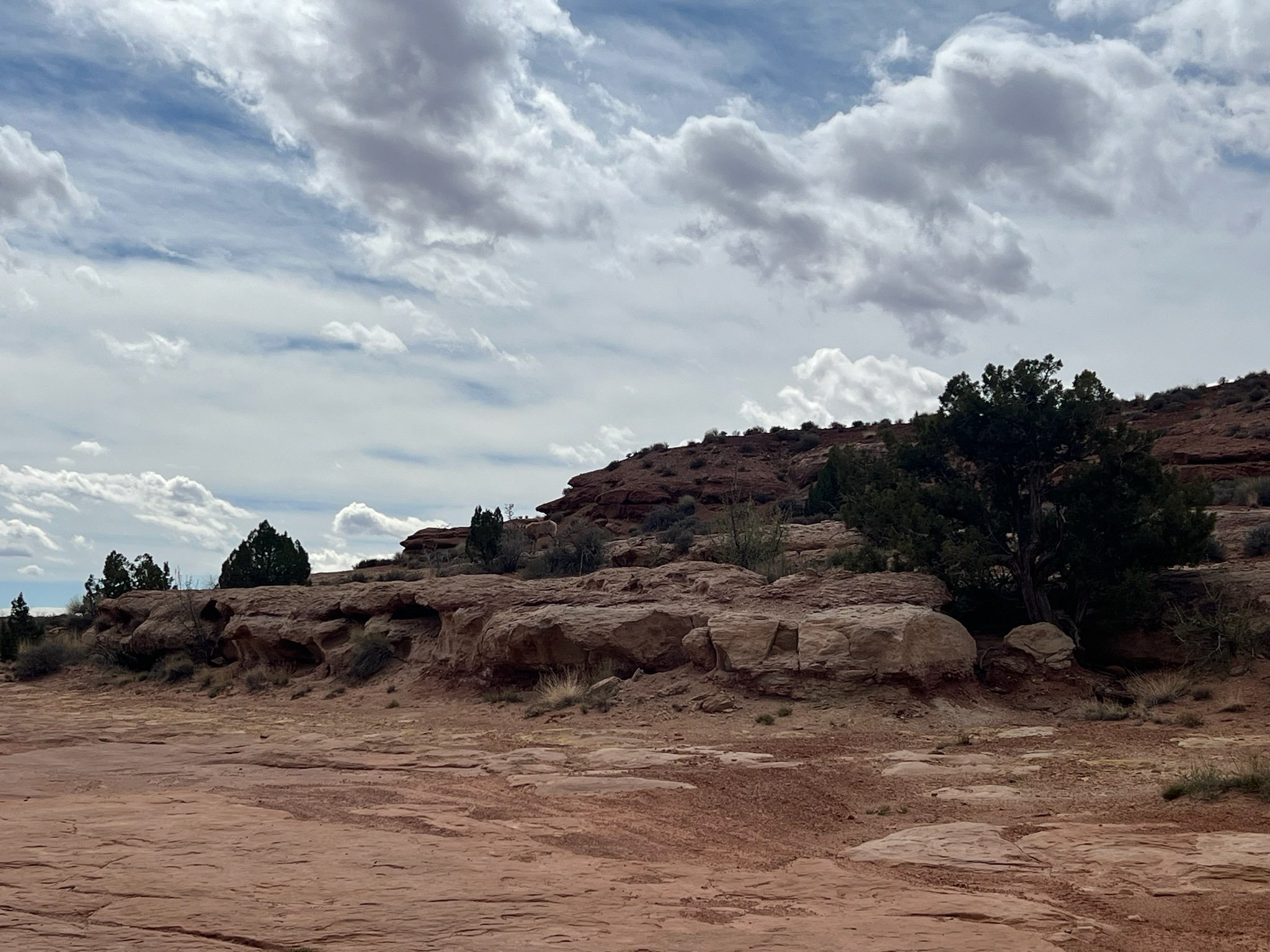
We passed two other parties of folks, one with a Toyota Tacoma with a top tent and a family who were relaxing under the trees in Potato Bottom A. We then passed a large group fellow MTBers who had two pickups supporting them who were making dinner and having a hell of a good time. Then we finally arrived at our home away from home. The spot was large, sandy, flat and backed by two large spooky-looking trees that beckoned us in to our humble abode. Since we were somewhat near the river’s edge, we decided to explore and see if we could actually get down to the river’s edge and try to filter some incredibly sediment-filled water. There was a promising looking path that guided us all the way down along the most eerie little brush covered path I think I have ever been on. I felt like Hansel and Gretel and the evil witch was waiting for us at the end! But, the end turned out to be a 6’ drop directly to the river, so there was absolutely no access, at least from where we were. A bit defeated, we sauntered back to our camp and decided it would be worth going to ask the folks next to us if they had any extra H20.
Potato Bottom C
Here’s the thing about me. For those who know me, they wouldn’t believe it if I said that I was shy, but I truly am. Nothing gives me anxiety like having to approach new people, especially a group of people that I don’t know and especially out in the general public, and ESPECIALLY when having to ask for something. But, here we were. I made a deal with Patty that if he lead the way and started the conversation, I would accompany him over to their camp so that he wouldn’t have to carry all of the water back. On the way there, upon seeing all their bikes, I realized, hey - these are mtb people, chances are they are going to be super rad. And sure enough, they were! These rad folks from Denver topped us off with all the water we could want, offered us a LaCroix, which we graciously accepted and let us know that if we needed water in the morning, we could come back for more. While I know that we would have been okay the next day (we ended up with MORE than enough water left over), it was comforting to know that we could guzzle as much water as we needed, including my recovery mix and a night time tea without worrying if we had enough to make it back to our car the next day. Thanks Denver friends!!!
The wind reallllllly picked up as we went to cook dinner so we had to hide behind our Tent vestibule to cook. We had simple meals of ramen for Patty with some shredded beef from a pouch and I had mashed potatoes with shredded beef from a pouch and some parmesan cheese. Food never tastes so good as it does out in the wilderness after a long day in the saddle. I just can’t get over it! And who doesn’t like instant buttery mashed potatoes, anyway? Sleep came quick, and I was out like a light. Patty on the other hand (which I would find out the next morning), was up for most of the night because he couldn’t get comfortable on the cold, hard ground, because we were unable to patch the hole in his sleeping pad. :( Sad Patty.
We woke up covered in red dust. Even with the vestibule of the tent nice and taut (probably one of the best tent set ups we have ever had with our Big Agnes Tiger Wall (thanks to Patty - I taught him well…), the wind had kicked up so much dust, my sleeping pad looked like I had rolled in it. We wiped the grit from our eyes with the first light and started to pack up. The weather was MUCH cooler than the day before and overcast. We could see the storms rolling in over Moab and knew it would be advantageous to start as soon as we could to beat the rain.
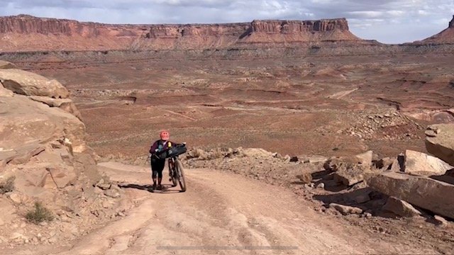
After leaving our campsite, we crawled and climbed up some of the steeper kicker sections on our way up to Hard Scrabble camps. Now, I feel like some of them may have been rideable for me, but some of these kickers make you cringe, especially with a 60+ pound bike underneath you. So, hike-a-bike was had. The good news is that they aren’t long, and most of the kickers were condensed into the one general area leading up to Hardscrabble. I had glanced at the elevation profile before we started for the day, just to see what we had in store, and this is what it looked like: Small mesa-looking hump, then down, then flat, then HUGE climb (which I knew was the Mineral Road climb) and then a long 10-mile general uphill drag back to the Visitor’s center, half of which was on paved roads. Well, the small mesa-looking hump, which paled in comparison on the map to the HUGE climb of Mineral Road, turned out to be all of those steep kickers rising up above the river, most of which we walked at least a bit.
The flat part ended up being a nice jaunt, peppered with 45-mile per hour side gusts. And then we started the 12% climb up Mineral. Both Patty and I had expected the worst for this climb, since we had to walk so much of the previous climbs leading up to it, but we were pleasantly surprised that the entire climb was rideable. It was fairly smooth conditions, a steady pitch, and we were somewhat shielded from the tormenting breeze since we were sort of encapsulated in a small canyon.
Right as we started the climb, we saw a dog (for a minute we thought it was a large wild animal of some sort), and then a woman running after it. We thought she was running after her dog, but it turned out she was just running. Up. And Up and up and FAST! I have never seen someone run so fast up a hill before. Before we even got half way up she I saw her head bop up along the crest of the top of the hill and I couldn’t believe my eyes. We kept crawling up the dragon’s back (that’s what I felt like we were riding because the rock is all hard and cracked), and a couple of minutes later, the gal came HAULING ass back down the hill (sans dog). We cheered her on as she went, while we tried to figure out what happened to her dog, and why on earth she’d be running back down the hill (since there were no cars at the bottom for her to go to). I mean, why on earth would you want to run up that hill more than once?
After 40 minutes, a couple of breather breaks later, we crested the top. Patty looked back down the hill as we sheltered by the pit toilets and noted that this woman was already on her way back up and was almost to the top again. She crested for her second time up and her Sprinter van door opened and her cute golden hopped out to greet her. She grabbed a handheld bottle, said hi to her companion in the van,(comvanion) and took the dog with her again. As she was setting to take off, Patty asked what on earth she was doing. Turns out she’s on a training run and her goal was to complete 5 repeats on this 1700 ft relentless climb of approximately two miles long. Oh you know, just running 20 miles with over 8k ft of vert on a weekend. I did notice that she had a Hoka shirt on, and by deductive reasoning including her pace and motivation for training, I figured she must be a sponsored athlete. Sure enough! I later did some sleuthing and figured out that we had run into none other than Allie Macoughlin who has won the World Long Distance Mountain Running Championships. What a rockstar!
We also met a guy from Utah, via Idaho at the top of the climb that was about to set off for a three day excursion through the White Rim Trail and heading off on Potash road back to Moab. He generously offered us a beer, of which he had four on his bike along with his 12L of water that he was carrying. We kindly declined, chatted for a bit and went on our way in the cold cross wind that would occasionally try to knock us off our bikes as we rode the rest of the 10 mile slog back to the visitor’s center.
After taking the shortcut through the campground at the highpoint of the trail, we turned onto the pavement and braced against the evil headwind. Growling even more now than ever with the impending storm, we gritted our teeth and pedaled squares to get us closer to our ending point. What we thought was going to be a rolling pavement section back to the car turned out not to be that and instead a slow drawl of ups and downs, none of which were steep, but all of which were long and never ending. I swear I looked at my Garmin 10 times to make sure we were, in fact, going the correct way, thinking that maybe we had somehow gotten lost on a route where there was nowhere to turn the wrong way. Soon enough though, the long-awaited “Reduced Speed Ahead” signs popped up on the side of the road and we knew we were close. The car was still there, complete with coca-cola’s that we had kept in the cooler, waiting to refresh us from our efforts of the day. We made it!
Things I learned on this trip:
Carry as much water as you can when you are riding in the desert and especially on this trip. A note about water: you can stache water near the Gooseberry canyon, with the Trailhead off of the Grand View Point road, which does not require 4x4 vehicle. It is a 5 mile out and back with a significant vert gain to return to the road, but it would be well worth the stash if you had time/energy/need to do so. We did not do this, and we would have been okay with the water we had, but none to spare, and if it were any warmer out, we would have suffered big time. I am constantly reminded that the desert is unpredictable and deals a heavy hand when it comes to the elements, so always be more than prepared. This includes sun protection, water, and food and any other items that might help you not suffer out there in the open.
Not all vertical gain is created equal, especially when combined with the wind. Some of the flatter parts were very bumpy and felt like you were riding on the moon (similar to the feel of the Whole Enchilada trail in some parts), which zaps your energy much more than a smoother but steeper portion. So even though the middle part looks “mellow” as far as vert, this is not an easy trail.
Where to start this loop: As I mentioned, we started at the visitors center and left our car there. While this was optimal for being able to use the restrooms and things like that, i would have much rather parked elsewhere. If we were to do the loop clockwise again, I would park at the small dirt lot at the top of the Mineral Bottom Road. This would mean that, yes, you are finishing with a long climb, but then the car is right there and you get to be done! There is also a pit toilet there at the lot, so you get the best of both worlds. This also means that you get to do the long slog up and about and past the visitors center in the early part of the day (hopefully), and when you have the most energy. The rest will seem like a breeze after that! This also opens up more of the camping options for you including Shafer Canyon, Airport tower, etc. that are too close to the visitor’s center to hit on the first day if you start where we did.
I wayyyyyy overpacked for this trip. I probably also under-ate so did not use nearly enough of my snacks, but I brought two lights plus my head lamp, multiple breakfast options, so many layers (which, you know, I wanted to be prepared), a beanie plus an ear buff, plus a neck buff, plus a handkerchief. I blame it on the tired brain when I was packing, but I definitely could have left 3-4 lbs of stuff at home and fit more water. Lesson learned: pack well, and thoughtfully. It’s always good to have more than enough food and layers, but it doesn’t help to go overboard. I do have a list that I use to pack with but I haven’t done a 2-day, 1-night trip for a long time, so I definitely went overboard. Oh well, what doesn’t kill you makes you stronger? Next time I’ll be leaving that 10th packet of Clif blocks at home!
Be patient with yourself when you aren’t feeling it. There are reasons to not feel like you are doing an ample job out there. Just keep moving forward, and enjoy the place that you are in. Whenever I was able to stop and take a breather and a rest, I made sure to take some pictures, and sometimes I just took a moment to look around and take in the beautiful landscape of where we were. You really can’t beat being out there in the middle of it all, even if mother nature or your brain is raging.
Don’t be afraid to ask. Everyone out there is enjoying themselves in a place where not a lot of people can get to, and it really is a privilege and a treat to be out there. As such, there is a feeling of comradery and respect with most everyone out there. As such, there seems to also be a general understanding of how rugged it can be out there and folks will go out of their way, if they are able, to get you what you need, especially if it’s an emergency. So, don’t be afraid to ask. Not only will they maybe offer you a LaCroix, but you may also make some new friends in unexpected places!


