Bikepacking the Colorado Trail: Part 2
Day 2: Buffalo Creek CG to Twin Eagle CG
Stats: 43.3 mi, Elevation Gain: 5033ft, Moving time: 5h41m, Elapsed Time: 8h38m
We woke early and knew we had a pretty warm day ahead of us. I don’t remember much about this day except that I felt pretty good and Aliza didn’t. At Rolling Creek TH, the Lost Creek wilderness detour began, which meant we were on mostly paved/dirt roads for the day. You might think that sounds wonderful compared to trails, but in this case it also means sandy, non-graded roads, open treeless passages (hot), and washboard.
For me, though, with my hardtail, compared to Aliza’s full suspension trail bike, it was quite plush. My energy pedaling helped propel me forward right up the hill, where Aliza’s bike sucked a lot of energy that she was putting in. That, plus her sensitivity to heat made for a long grueling day. We rode together quite a bit, but also we rode with the understanding that we each just go at our own pace up the long ascents and then meet at turns or occasionally on the hills, just to make sure we don’t get too far apart. Eventually I realized that Aliza really was struggling and she needed more of a rest than just a quick stretch and a snack.
We stopped in some of the only shade we could find on the dirt road in the middle of the day. Ants ate our legs alive in the first couple of spots we tried, but eventually, after naming the road Ant Hill, we found a place to stretch our legs. We stripped down, doused ourselves with water, ate some snack-ums and just rested for a while. At this point we were in the heat of the day and we knew we just needed to not be in a rush and take it easy or else we could possibly get too overheated.
The road climb to the campsite was beautiful and brutal at the same time. We were literally only a few miles from camp when Aliza had to just not pedal any more. We dismounted, clamored over to a shaded rock area and laid on the cool rocks for about thirty minutes or so. We had just a bit of climbing left, so after a pep talk and some grumbling, we were on our way. We pulled into the campsites near Tarryall Reservoir and it was a busy, crowded mess. It didn’t look like there were many, if any, open spots, so we looked at the map and saw there was a smaller camp ground that we could possibly find a spot at. This was a good call! I think we ended up at Twin Eagles CG, a small spot, with maybe eight camp sites. We plopped in the first one we came to and set up camp. We arrived at about 3:30pm so we had plenty of time to rinse off and cool down in the lazy river right next to our campsite. After living and bikepacking in AZ, I will NEVER take a stream/river for granted! It is such a luxury to be ale to have an after-ride “bath” and a “wash room” for our salty, dirt-filled clothes.
Day 3: Twin Eagle CG to Jefferson Creek CG
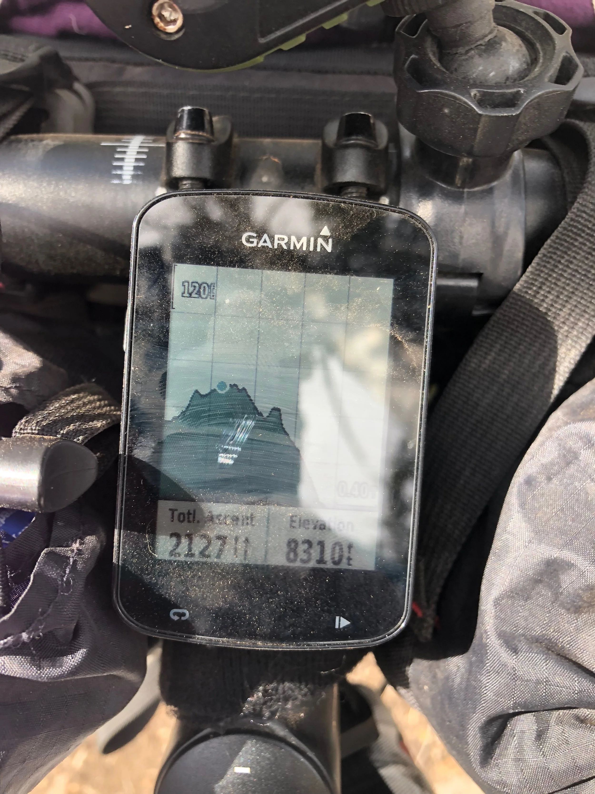
Stats: 35.09 miles, Elevation Gain: +3802, Moving Time: 4h 55m, Elapsed Time: 8h24m
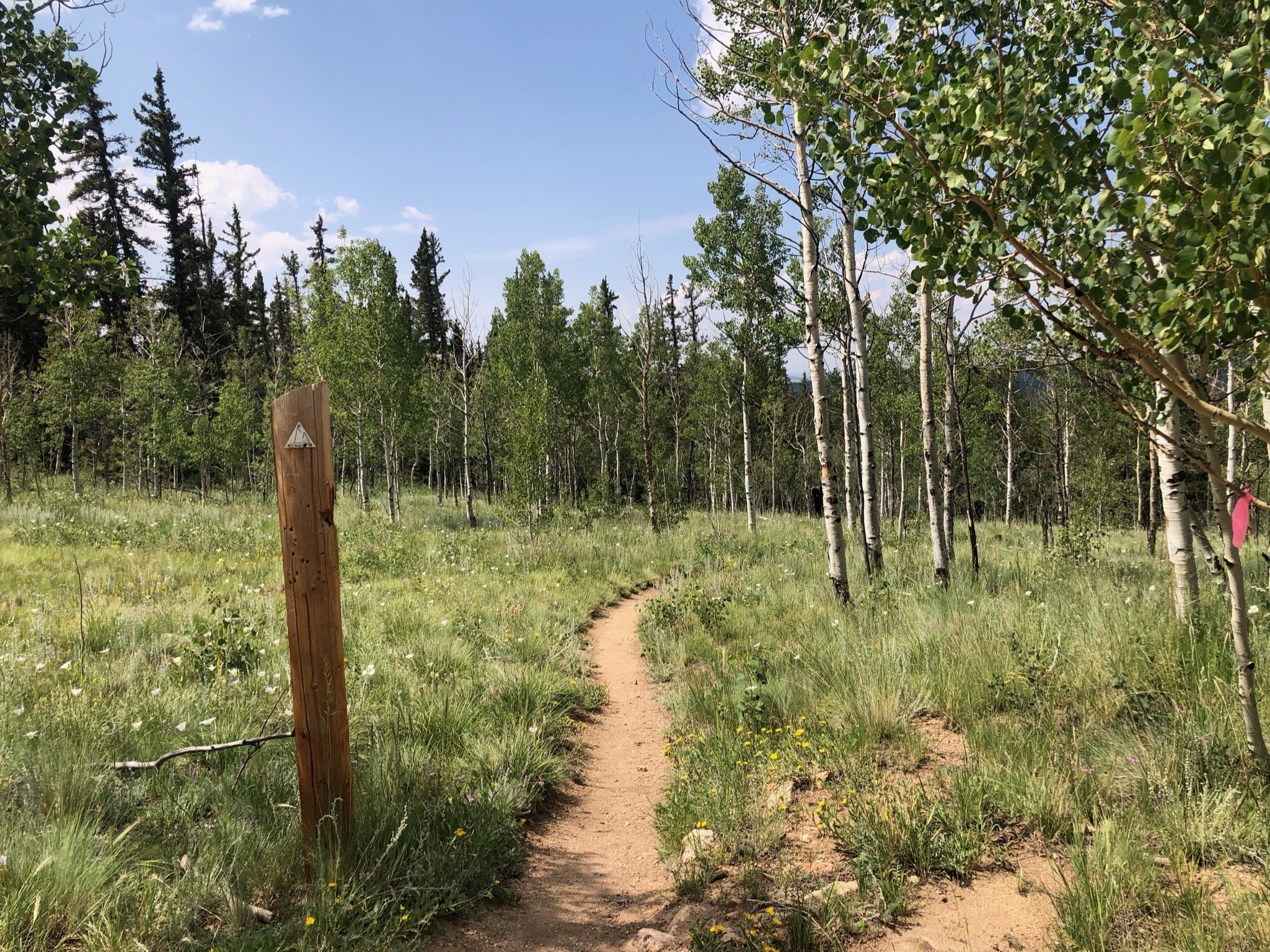
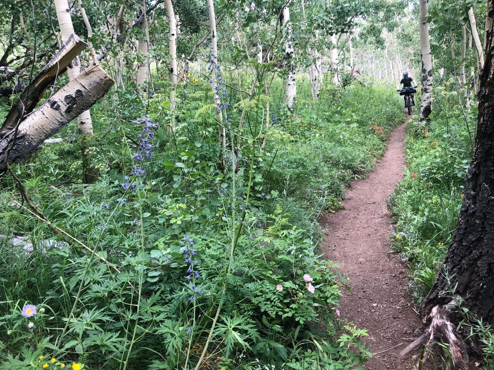
We woke up, refreshed and thankful for a cool morning. We tried to get an early start and were on the road by 7am, which all things considered with having to pack up and make breakfast and all that stuff, was a pretty great feat. We would be leaving the wilderness detour and rejoining the CT proper, which we were pretty excited about. The morning was pretty uneventful, and I thought it was pleasant, as we motored up to high alpine through the aspens, enjoying the rideable singletrack. The only drawback of getting such an early start was that we tried to stop by the well-known Lodge but it was closed when we got there. They have variable hours and we knew it probably wouldn’t be open bevcause it was early. We stopped for a quick snack and were on our way.
After gravel and aspens and wildflowers, our lunch stop was at Johnson Gulch where there was a cute little stream, and I swear we had turned into Bilbo Baggins and Frodo and had been galavanting in the Shire. Though it was a little buggy, the creekside resting place was much needed and our lunch spot gave us the energy we needed to continue on. We ran into two guys on foot (I think?) that had stopped for lunch as well and had a wee chat before they went one way and we went the other. Lunch legs hit hard when we realized we had to climb out of the gulch we were in and the long afternoon slog proved mentally (and physically) challenging.
Lunch break and stretch at Johnson Gulch
The climb up to Kenosha Pass was a bit brutal. I have pretty much blocked it from my mind. The only thing that I do recall was that, except for the two hikers in the gulch, we hadn’t seen anyone for the entire day and were just mentioning how it was something special to be able to ride to a place in the middle of nowhere that was inaccessible by anyone unless they really put the effort in when two people on horseback and their pup rounded the corner. We chatted for a bit, reveling in the beauty of where we were at on that ridgeline with views for miles and the serenity of it all. We bade each other adieu and continued toward the top. The camp area near the summit had a pump water station, so we filled our bottles, doused our heads, cleaned off a bit with our handkerchiefs readied ourselves for the final roll to Jefferson Creek CG.
At one point, we heard some noises in the trees and stopped quickly, unsure of what we would find. Suddenly, a few large quail flew out in front of us and we jumped so high! We giggled afterwards, and saw a whole family of the birds, climbing onto one of the branches that lay on the ground. They gave us quite the scare, and we were glad it wasn’t anything bigger.
Towards the end of the day, clouds blew in and started spattering sprinkles on our tired legs, shortly before we reached camp. We got a little turned around, unsure of which way the trail led to the camp vs. going through on the trail, but eventually found our way to the camp site in the late evening. We hadn’t known exactly where we would meet Patty Sag, whether it be on the road or at the campsite, but eventually we saw the van pulling into the camp just in time for dinner and just in time to get warm for the night. Aliza got a comfy bed in the camp and Patty and I slept in the tent. We dove into our resupply boxes for special treats that we had sent ahead and slipped into our dry, fresh clothing.
First Impressions of the Oregon Timber Trail: Travel day and Day 1
Nap and rally
The adventure began with a train ride on Thursday, July 13 from Portland. The adventure started as a dream and ended in a nightmare. We were stuck in West Fir for 4 hours due to a freight train vs car collision. Apparently we had to wait for EMS to clear and then for the freight train to be inspected. Needless to say we didn’t make it to Kalamath Falls where we had a hotel booked for the night until 2:45 am. We got checked in and to bed at around 3:15 AM and woke up the next morning at 5:00 to meet our shuttle driver Wes. You see, the start of this trail is not entirely convenient to get to (there is now a new optional start further south in California that you can get to via bus). So, here we were, this leads us to Day 1 of actual riding, very sleep deprived, and anxious to get on the trail.
Our shuttle driver, Wes, who works at Hutches Bicycles in Klamath Falls, instantly won a spot in our hearts as the biggest hero ever NOT ONLY for waking up at the butt crack of dawn to pick us up, AND for making us a communal cup of Portland-style thick coffee, AND for charging our group a VERY affordable price for the shuttle, but ALSO for being a super cool guy and providing the best entertainment on the three hour drive to Lily and Cave Lakes in California. We truly owe him a huge thank you in the form of beer, gifts, favors... whatever he wants, he deserves it! We stopped briefly in Lakeview to grab breakfast at Tall Town Cafe which was more than welcoming to and whipped us up some delicious breakfast to go. And who could beat a $5 breakfast sandwich special that comes with coffee? Total score!
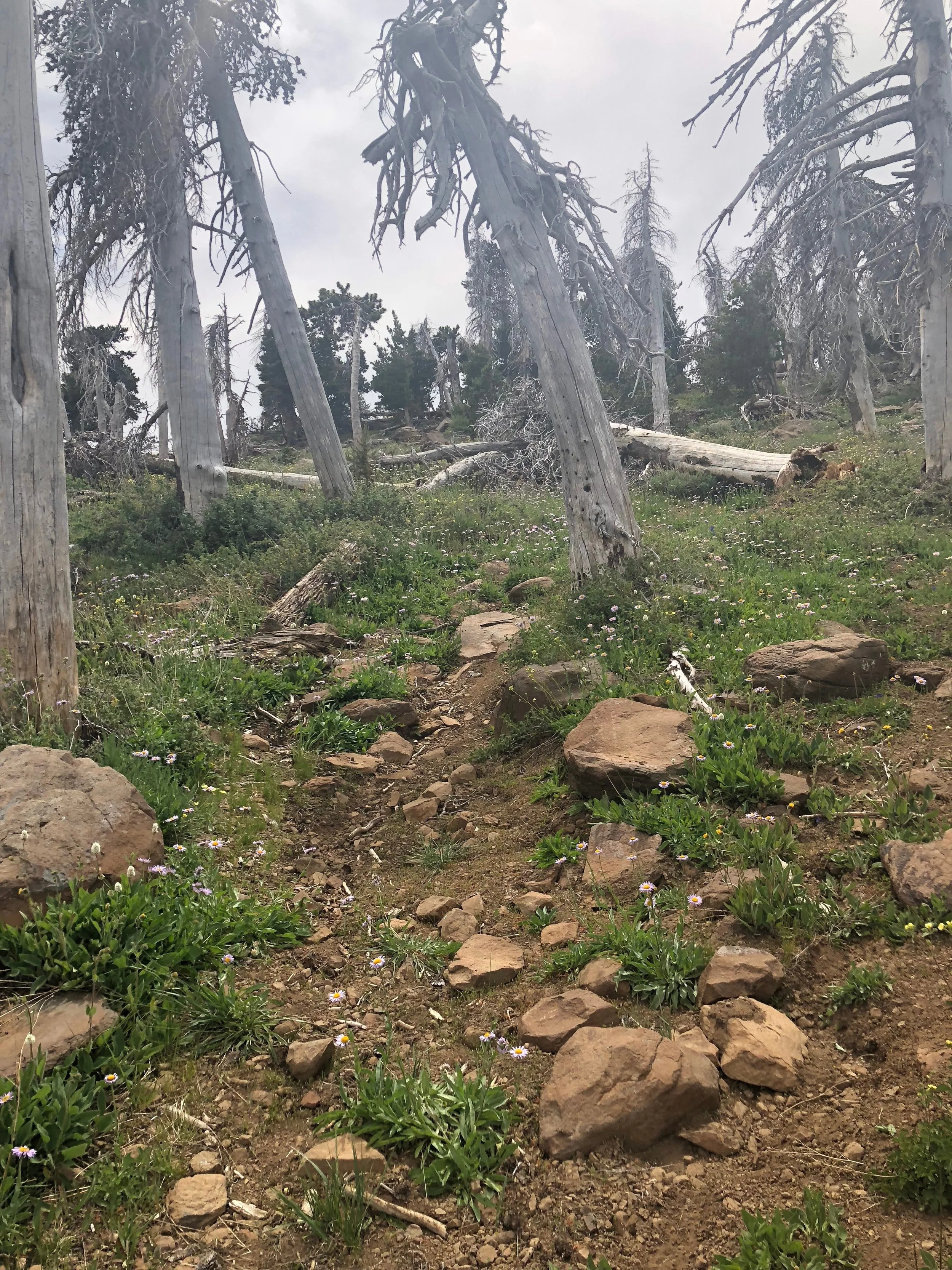
Okay, so fast-forward three hours and a lot of curvy roads, laughs, and chamois cream later and we were on the go. The route begins with an immediate uphill effort, which basically means that I can stop talking about the entire day and and cut to the part where I remember saying, "This day is shit." Needless to say, the ride was difficult to begin with, got more challenging in the middle, and kicked my butt all the way until the end. With the highest point of the route at just under 8.5k ft. elevation and 3.7k ft. elevation gain over 27 miles plus crap ton of over grown single track, to say it was challenging would be an understatement. It took us (me) four hours to go 10 miles and another four hours to go the rest of the way. Why I say it took ME four hours is because I was definitely the weak link in our adventure train.
In my previous post (It's go time!) I may have mentioned that I haven't been doing a lot of training for this adventure because of grad school. Well, guess what? I suffered. I suffered bit time! My lack of fitness (both aerobic and strength cause I had to do A LOT of hike-a-bike, combined with the elevation factor meant that I was gasping for breath most of the time on this first day. My cohorts suffered seemed to suffer a bit less, but actually, they probably suffered just as much, they just went faster at it.
Both of my legs began cramping through my quads followed by bouts of hamstrings seizing up at about mile 12 (after much hike-a-bike). We were close to running out of water and I began to to experience symptoms of heat exhaustion. I took a break in what little shade that was and tried to gather myself while a couple of the others in the group rode ahead to see if the creek really had water or if it had dried up as did many of the other creeks along the way. Once I recovered, Heather and I took a shorter route to the creek and to our amazement, we were rewarded with the cutest and most refreshing trickling stream we had ever seen!
It is truly amazing what a little water can do for morale and immediately our moods were brighter and energies were up! We wisely decided to take the take the gravel road down into Squirrelville Cabins for the night instead of the single track, which was well worth it because we got there right as the sun was setting anyway.
Now, don't get me wrong, I said that this day was shit, and believe me, it was! The riding and the trails were incredibly difficult and there were many times when I pushed my mental and physical fortitude to the limits. But when you descend down that mountain that you've climbed and are greeted by some of the nicest people I have ever met, along with a beautiful sunset and an ice-cold beer, well, that's when you realize that it wasn't really shit, it was just a shit-ton of Type-2-Fun!
Written in collaboration with my fellow bike packer extraordinaire, Aliza Richman


